Note
Which soil types actually show cropmarks: a DBA reference
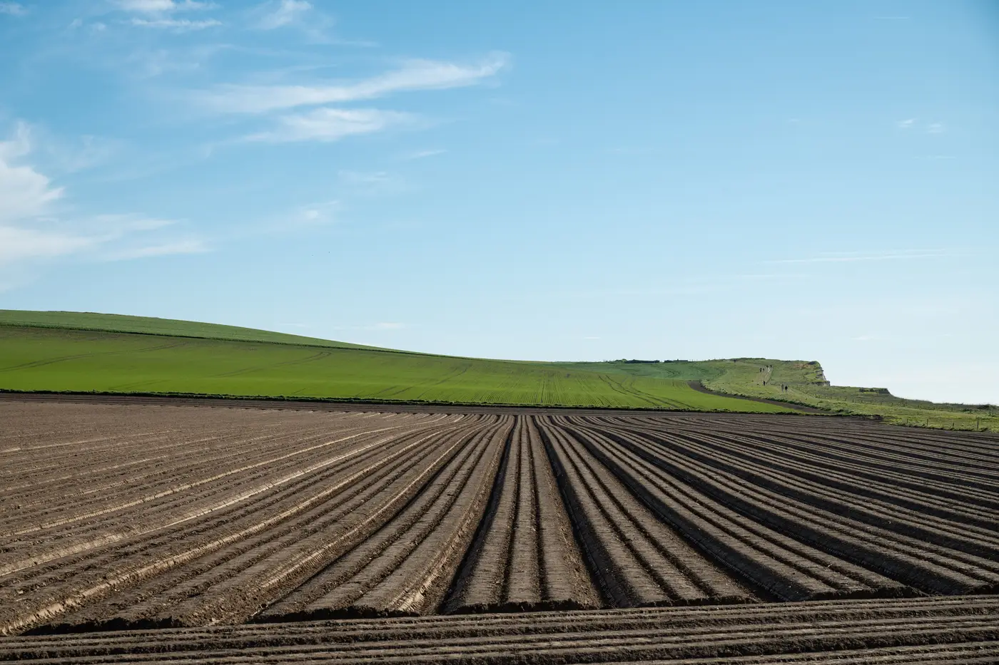
If you're scoping a desk-based assessment and the only thing standing between you and a clean cropmark season is "we'll see what the weather does," it's worth checking the geology first. Cropmark formation comes down to soil moisture, and some soils can't produce a usable signal no matter how dry the summer runs.
Why drift geology matters more than the solid geology map
Most DBAs pull the BGS solid geology sheet out of habit, because it tells you what's down there in the long term: chalk, clay, sandstone. But cropmarks form in the top metre or so of ground, where crop roots sit, and that zone is controlled by the drift (the superficial deposits sitting on top of the solid geology), not the bedrock itself. A site can sit on solid chalk and still show nothing, if it's capped by half a metre of clay-with-flints or head deposits that hold water evenly across the field.
So the question for a DBA isn't "what's the solid geology." It's "what's the superficial geology over my study area, and does it drain unevenly enough to stress a crop differently over a buried ditch than over natural subsoil."
Soil type by soil type
Chalk. The classic cropmark ground. Free-draining, shallow soil profile, crop roots hit stress fast in a dry spell and anything that lets roots run deeper (a ditch, a pit, a palaeochannel fill) shows up green against a stressed field. Wessex, the Yorkshire Wolds, the chalk downland of Sussex and Hampshire: this is where most of the textbook cropmark photography comes from, and it's not a coincidence.
River gravels and sand-and-gravel terrace drift. Nearly as reliable as chalk, and often better for negative marks over stone features, because the drainage is just as sharp. River valley terraces are worth flagging in any DBA as high-potential ground regardless of what the solid geology underneath says.
Sand. Drains fast, which is good for mark formation, but the signal fades quickly once the stress period breaks, so timing matters more here than almost anywhere else.
Clay. The one that catches people out. Heavy clay holds moisture evenly across the whole field, buried feature or not, so the differential growth response that makes a cropmark never really develops. You might get parchmarks in an exceptional drought year, but betting a DBA on that is betting on weather that doesn't arrive most seasons. If your study area is mapped as boulder clay, London Clay, or similar, treat cropmark photography as a low-yield method and lean harder on geophysics or trial trenching in your methodology.
Alluvium. Genuinely variable. Thin alluvial capping over gravel can still show marks reasonably well; thick alluvial deposits in a floodplain can bury a palaeochannel or a timber structure so deep the root zone never reaches it. Worth checking deposit depth where borehole logs exist, not just assuming alluvium means "no chance."
What this means for scoping the assessment
Pull the BGS geology viewer before you commit a season to cropmark survey, and read the drift layer, not just the solid. If the superficial deposits over your study area are chalk, sand, or river terrace gravel, a growing-season NIR pass is worth scheduling and worth writing into the DBA as a credible non-intrusive method. If it's heavy clay or thick alluvium, say so plainly in the report and don't oversell what aerial imagery can deliver on that ground.
This is also where pulling a cropmark layer from NIR imagery across a full growing season earns its place in a methodology, because it catches the differential growth signal on a schedule a one-off site visit can't match, rather than relying on someone happening to drive past a field on the one dry week that matters.
If your area of interest sits on chalk, gravel, or sand drift and you want that growing season covered properly, that's what Buried Feature Detection is built to do.