Note
Soilmarks vs cropmarks: how to tell them apart
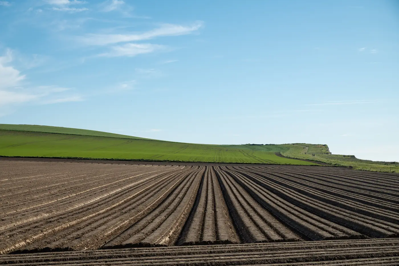
If you've spent any time in an HER search room squinting at 1970s verticals, you'll know the two get lumped together more often than they should. A tonal change in a field is written up as a "possible cropmark" when what's showing is a soilmark, or the other way round. They're caused by different things, they show up under different conditions, and mixing them up in a desk-based assessment can send a watching brief to the wrong part of a site.
What a soilmark is
A soilmark is a colour or texture difference in the bare soil surface, caused by what's underneath it. Plough a field that sits over a backfilled ditch and the darker, more humic fill gets dragged up and mixed into the topsoil, showing as a darker band against the paler natural. Plough over a robbed-out wall and you often get the opposite: a pale streak where stone rubble and mortar have been turned up into the soil matrix. No crop involved at all. You need bare ground, recently ploughed or harrowed, ideally after rain has darkened the exposed earth unevenly, and you need low raking light or a dry surface to pick up the tonal contrast. Soilmarks show best on light, friable soils, chalk and gravel subsoils especially, and they're next to useless on heavy clay that stays uniformly dark whatever's underneath it.
What a cropmark is
A cropmark is about the crop, not the soil. It's differential growth driven by how much moisture and depth of rooting a plant gets. A ditch fill holds more water and gives roots more depth to work with, so the crop over it grows taller, stays greener longer, and ripens later than the surrounding plants. A wall or compacted surface does the reverse: shallower soil, less water held, so the crop over it is stunted, yellows early, and in a hard summer can fail outright while the rest of the field is still standing.
This only works under stress. A wet summer with no moisture deficit gives you nothing. You need a crop with decent root depth (cereals are reliable, root veg less so), and you need that narrow window where the plants are drawing on subsoil moisture hard enough that a few centimetres of buried masonry or a backfilled cut makes a visible difference above ground.
Why they get confused in the archive
The confusion mostly comes from archive photos not telling you what else happened to the field that year. A photo library entry says "cropmark, probable ditch," but if you don't know the field was fallow or stubble that season rather than under a standing crop, you can't rule out a soilmark explanation for the same tonal pattern. Land use rotates. The same field can show a soilmark in a ploughed year and a genuine cropmark two seasons later under barley, and an interpreter working from a flat scan with no field diary has no way to tell which mechanism produced the mark they're looking at.
How to tell them apart on the ground
Start with land use at the time of the photo or the flight log notes. Bare earth, stubble, or recently harrowed ground: you're looking at a soilmark, caused by soil disturbance alone. Standing crop, cereals especially, photographed in a dry spell: you're in cropmark territory, caused by moisture stress on growing plants. Check the geology too.
Chalk and sand give crisp soilmarks and crisp cropmarks both. Clay gives you almost nothing either way, which is worth flagging in the DBA as a detection limitation rather than an absence of features. And treat single photos with caution: a mark that repeats across different years, different crops, and different weather is a far stronger case than one tonal patch on one frame.
None of this is solvable by staring at more scans of the same old verticals. It depends on catching the field in the right state at the right point in the season, which is exactly what makes timing a site visit against hoped-for cropmark weather such a gamble. Buried Feature Detection reads NIR imagery over your survey area through the growing window and hands back a georeferenced cropmark layer you can drop straight into the DBA, without you having to guess which week the barley will be stressed enough to show its hand.
If your next assessment depends on catching that window, it's worth having the layer ready before the crop tells you it's too late.