Note
Parch marks vs cropmarks: what's the difference
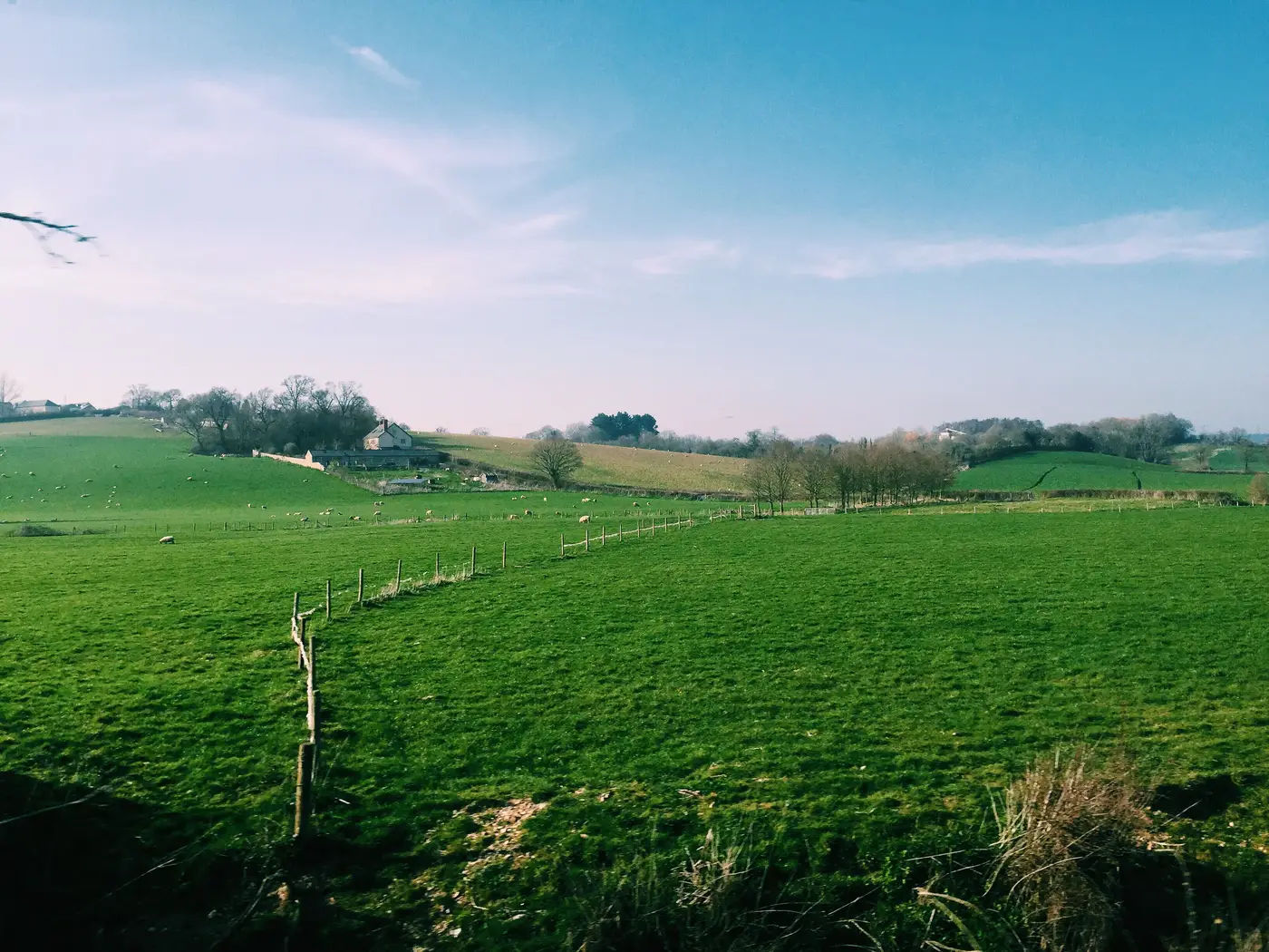
Parch marks and cropmarks get used interchangeably in site write-ups, and that's a problem when you're scoping a desk-based assessment and trying to work out what the aerial photo evidence tells you. Both show buried archaeology through its effect on vegetation above it. They don't form the same way, they don't show up in the same crop, and they don't run on the same schedule.
What's growing over the feature
The split comes down to what's rooted in the ground that season. Cropmarks form in arable land, under cereals, oilseed rape, or another annual crop with a full root system working down through the topsoil into whatever's underneath. Where a ditch or pit has been backfilled with looser, deeper, more moisture-retentive soil, the crop rooted into it grows taller and stays greener than its neighbors for longer. That's a positive mark. Where a wall, road surface, or compacted floor sits close to the surface, the crop above is starved of depth and moisture and goes short and yellow before the rest of the field. That's a negative mark.
Parch marks are the pasture version of the same effect, but the trigger is drought, not a full season of differential rooting. Grass over a buried wall or compacted surface has a shallower reservoir of soil to pull moisture from. In a dry spell, that grass browns off days or weeks ahead of the grass over deeper, undisturbed ground. You get a pale, often quite crisp outline sitting in an otherwise green field. Once rain comes back, the whole field greens up again and the mark is gone until the next proper dry stretch.
Why the crop in the field changes everything
This is where parch mark archaeology gets fiddly for a desk-based assessment. Cereal cropmarks develop across weeks of an ordinary growing season, chasing moisture differences that exist most years, dry summer or wet one. You can reasonably expect cereal ground over known or suspected archaeology to produce something in most seasons, assuming decent flying weather.
Grass only parches under real moisture stress. A permanent pasture field with buried remains underneath it can sit there showing nothing across several consecutive damp summers, then throw up a textbook parch mark the one year there's a proper drought. If your assessment area is mostly grazing land rather than arable, a blank run of aerial photography doesn't mean the ground is clean. It might just mean nobody's had a dry enough July since the photos were flown.
That's the gap that catches out a fair few desk-based assessments: treating a field under permanent grass the same way you'd treat one under a cereal rotation, when the two need completely different weather to show what's buried.
What this means for the write-up
Working out which crop was in the ground for each year of available coverage matters more than it usually gets credited for. A field that's been continuous pasture for thirty years with no marks on any photo in the archive is a genuinely weak negative, because it's only ever had the chance to parch during whatever droughts fell in that window. The same field under an arable rotation with no marks across several seasons is a much stronger one, because cereals get more chances per year to show you something.
It's worth building a short crop-history note into the assessment for exactly this reason: which parcels were grass, which were arable, and which years had the dry spells needed for pasture to parch at all. Without it, an absence of marks reads as more conclusive than the weather record supports.
Timing matters more than most people budget for, and this is why. A site visit or an aerial photo order pinned to the wrong month, in a field under the wrong crop, can come back blank for reasons that have nothing to do with what's in the ground. A layer built from near-infrared imagery across a full growing season tracks the same differential stress cropmarks and parch marks are built on, catching it while it's still a growth difference rather than waiting for it to dry or brown enough to read off an oblique photo. Buried Feature Detection runs that layer over your survey area and hands it back georeferenced, ready to drop into the DBA or pull into QGIS alongside the rest of your evidence base.
If crop history and weather windows are already slowing down your assessments, it's worth seeing what a season's worth of NIR coverage over the site shows.