Note
Lidar vs NIR imagery for spotting earthworks under woodland
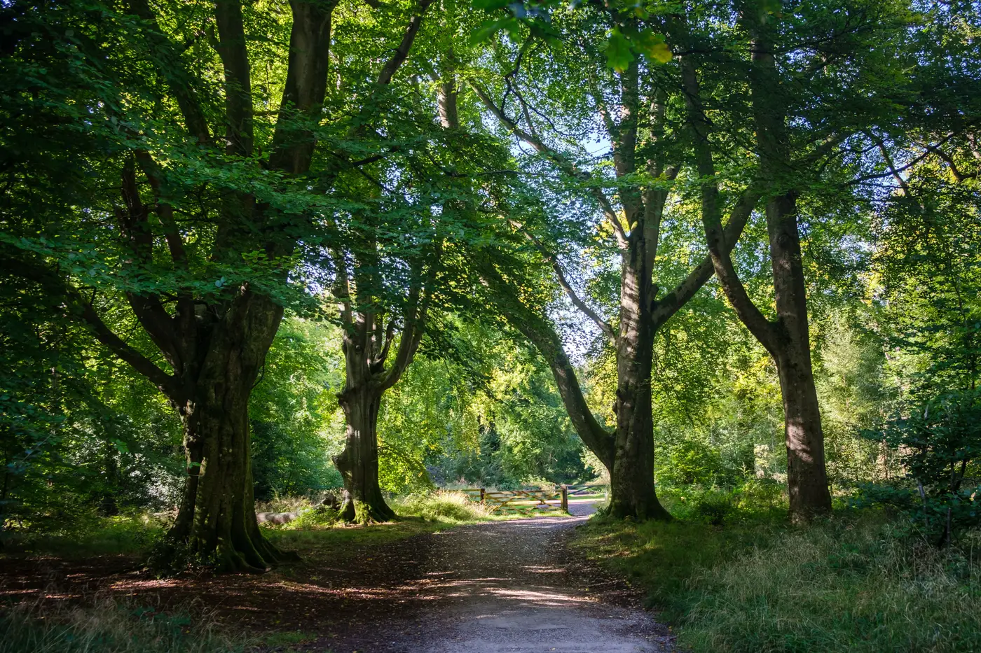
If your study area has a block of ancient woodland in it, you've probably already had the conversation with a client or curator about whether lidar is "enough" on its own, or whether you need something else to cover the rest of the site. Lidar and NIR cropmark imagery read different kinds of ground, and conflating them in a DBA method statement is how you end up promising a data layer you can't deliver.
Why canopy breaks NIR cropmark detection
NIR cropmark imagery works because a growing crop over a buried cut feature, a ditch, a robbed-out wall trench, a palaeochannel, grows differently to the crop around it. More moisture retention over a ditch fill means taller, greener growth that shows up in the near-infrared band before it's obvious to the eye walking the field. That whole mechanism depends on there being a crop, in daylight, with nothing between the sensor and the canopy of that crop.
Put a woodland canopy over the same buried feature and there's no crop to differentiate, no light reaching the ground to drive differential growth, and a sensor looking straight down at tree crowns instead of soil. NIR imagery, VHR satellite or aerial, just returns a woodland canopy. It doesn't see through it. Any vendor telling you otherwise is selling you something that doesn't work the way they're describing it.
Why lidar is the tool for wooded ground
Lidar solves a different problem: it fires pulses at the ground and records multiple returns per pulse. Under a woodland canopy, some of those pulses find gaps between leaves and branches and reach the forest floor, giving you enough last-return hits to build a bare-earth DTM even with the canopy still standing. Run that through a hillshade, ideally multidirectional or with a local relief model to kill the directional shadow bias, and low earthwork relief under the trees becomes readable: woodbank and ditch pairs, hollow ways, charcoal-burning platforms, ridge and furrow surviving under later plantation. This is relief detection, not crop physiology, so it doesn't care whether there's a crop at all. It's also why most units now default to the National Lidar Programme composite DTM as a first pull for any wooded parcel in a study area, before deciding whether commissioned airborne lidar is justified for better point density.
What this means for a mixed study area
Most real study areas aren't one land use. You'll have a woodland block, some permanent pasture, and arable that rotates. Match the tool to the ground, which is the approach that holds up when a curator reads your methodology:
- Woodland and anything under dense scrub: lidar-derived DTM and hillshade. Check vintage and point density before you rely on it. A 2018 composite flown for flood modelling wasn't necessarily optimised for archaeological relief.
- Open arable and pasture in a cropmark-forming year: NIR imagery through the growing season, repeated if the first pass lands wrong against the crop calendar.
- Anywhere both exist in sequence, old field systems that run from open ground into later woodland, expect the lidar and cropmark evidence to need stitching together by eye rather than snapping into one continuous feature automatically.
Write your DBA method statement around that split rather than treating "remote sensing" as one line item. A curator reading it wants to see that you knew which technique applies to which parcel, not that you ran one tool over the whole polygon and called it coverage.
None of this is a reason to skip NIR cropmark cover on the open ground in your study area just because the woodland needs lidar instead. Buried Feature Detection pulls NIR imagery over your arable and pasture parcels through the growing season and delivers the cropmark layer as a georeferenced file you can drop straight into the DBA or open in QGIS alongside your lidar DTM.
If the open fields in your next study area are due a look before the growing season closes out, that's worth getting on the calendar now.