Note
Briefing a geophysics contractor off a cropmark layer
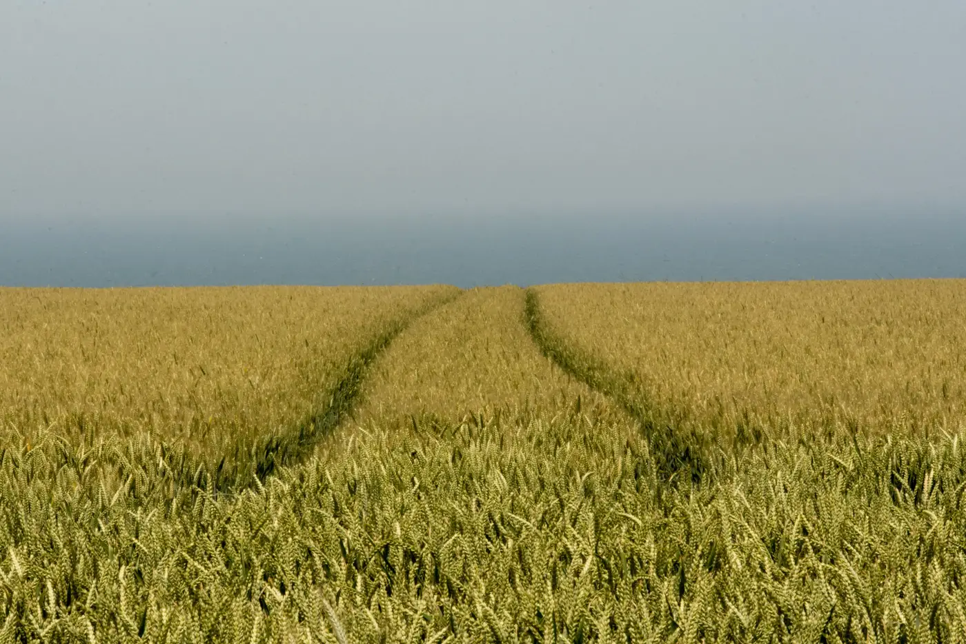
A geophysics tender that says "survey the field" gets you a grid dropped on the middle of the parcel and a report that misses the ditch running along the hedge line. A tender that says "prioritise the 40 m strip following the linear anomaly on the attached layer, gradiometer at 1 m traverse" gets you a survey that actually answers the question the client is paying for.
The difference between those two briefs is whether you had cropmark evidence in hand when you wrote it, and whether you read it properly before you did.
Reading the cropmark layer before you write the brief
A cropmark layer from a good growing season shows you three things worth separating out before you touch the brief: linear features (ditches, robbed wall lines, field boundaries that don't match the current hedge network), curvilinear or circular anomalies (ring ditches, enclosures), and the vaguer patchy response that sometimes turns out to be a palaeochannel and sometimes just a wet patch that greened up differently. Don't flatten these into one "area of interest" polygon. A contractor pricing a job from a single blob has no way to tell you whether they're quoting for a 20 m ditch or a 2-hectare enclosure complex, and the day rate for finding out which is not one you want to be paying.
Check the layer against the current field boundaries and any known drainage, because a cropmark that lines up exactly with a modern field drain is not an archaeological feature and shouldn't be in the brief at all. This is the bit of DBA work that still takes a trained eye.
Turning cropmark lines into a gradiometer grid
The brief should also do the contractor's grid placement for them, specifying orientation and extent so the grid geometry isn't left to guesswork once they're on site. A linear cropmark running diagonally across a field should get a grid oriented to catch it square-on rather than a standard north-south 20 m grid that clips the feature at an angle and halves your signal. If the cropmark layer shows a possible enclosure ditch with an interior that reads blank, say so: that blank interior is exactly what a gradiometer survey is for, and it's worth stating in the brief that you expect negative results there to be informative.
Traverse interval matters more on faint linear features than on strong ones. If the cropmark is crisp and continuous, a standard 1 m traverse will pick it up without argument. If it's broken or faint (a ditch that's silted differently along its length, say), note that in the brief and ask for a tighter interval or a resistance follow-up over that stretch specifically. The brief doesn't need to double as the contractor's method statement. It just needs to flag where the aerial evidence is weak, because that saves a second mobilisation when the first survey comes back ambiguous.
What to leave out of the brief
Resist the urge to over-interpret. A cropmark layer tells you where differential crop growth occurred during a particular window. It doesn't tell you depth, date, or whether a linear feature is a ditch, a wall robber trench, or a modern service run. Write the brief around what the layer shows: location, orientation, rough extent. Let the gradiometer survey do the job of telling you what's down there. A brief that states "probable Iron Age enclosure ditch" based on an aerial image alone is a claim the geophysics hasn't made yet, and it's the kind of thing a reviewer at the curatorial end will push back on.
The practical upshot: the better the cropmark evidence going into the brief, the shorter and more targeted the geophysics scope can be, and the easier it is to defend the survey design if anyone asks why the grid sits where it does. Buried Feature Detection delivers that evidence as a georeferenced layer timed to the growing season, ready to drop into the DBA or straight into QGIS alongside your grid plan.
If you're scoping a survey this season and want the cropmark layer before you write the brief, that's the use case this site is built for.