Note
Field notes: the June that put a ring ditch on every parish map
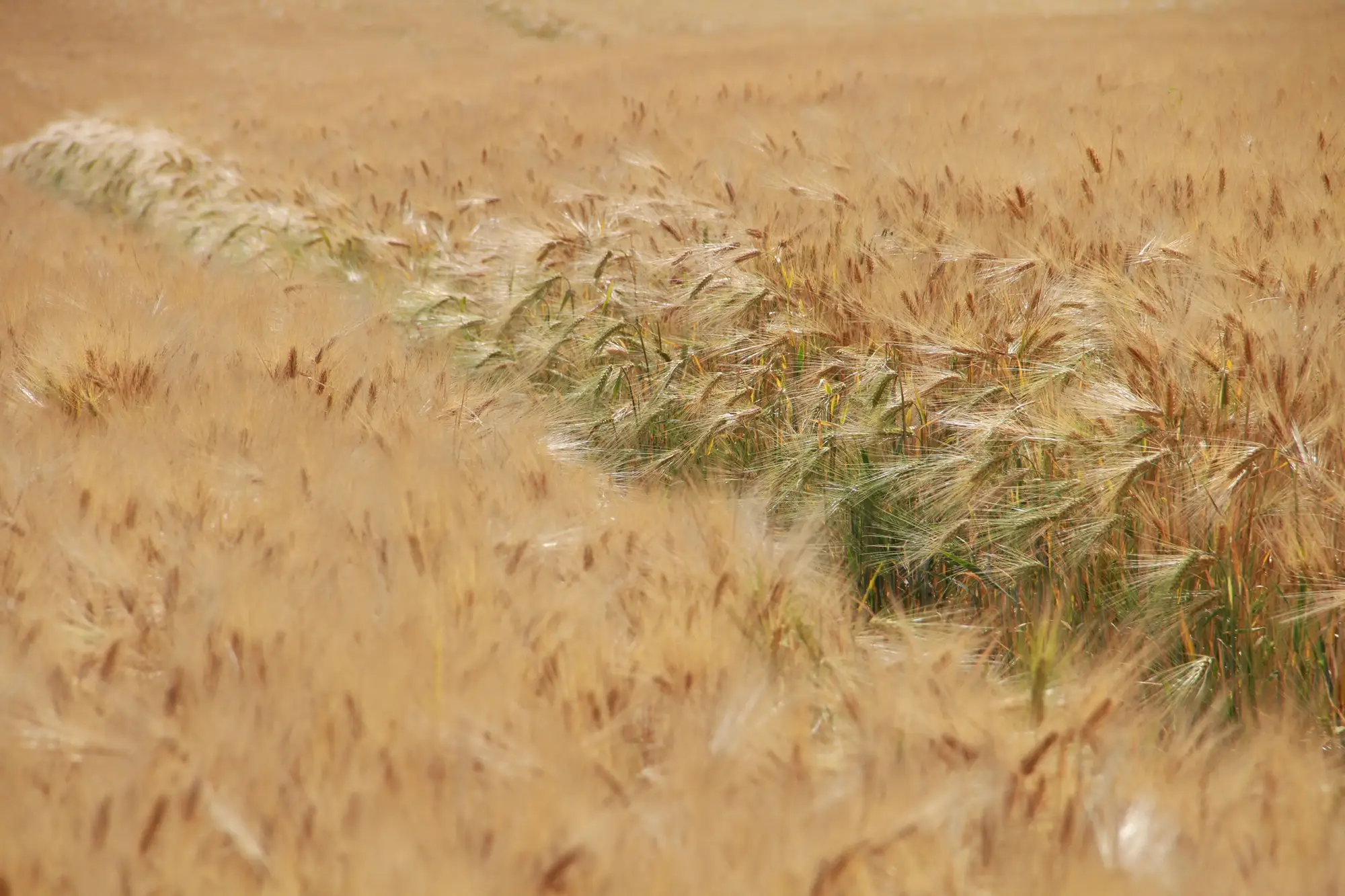
Anyone who was doing desk-based work in June will know the one I mean. Three weeks with barely a shower, the barley went from green to that pale gold-grey that makes a geophysicist's year, and suddenly every local history group on social media had a photo of a ring ditch in a field they'd walked past for forty years without noticing.
It wasn't a secret. Pilots and drone operators who do this for love as much as money were up at first light most of that fortnight, and the results were good enough that even the non-archaeologists in the parish were sharing them. A double-ditched enclosure showed up behind the recreation ground. A palaeochannel traced itself across three fields that had never produced a single stray find in forty years of fieldwalking. Somebody's back garden had what looked suspiciously like a corner of a villa.
The trouble, as always, is what you do with that window once it opens.
If you run a unit, you know the choreography: watch the forecast obsessively from late May, try to guess which of your live assessments sit in soils that'll show something, get a plane or a drone booked before the window shuts, and accept that half your target fields will be in the wrong crop, or the farmer will have already taken the barley off, or the one dry fortnight will fall precisely between your two scheduled site visits. Cropmarks are generous for about two to three weeks a year if you're lucky, and they don't send a calendar invite.
The archaeology this year was good but not unprecedented. What struck me was how much of the conversation in the unit WhatsApp groups ran to logistics rather than interpretation. Who's got a drone pilot free on Thursday. Can anyone get up before the forecast breaks on Saturday. Did anyone actually fly the southern parcel or did we just assume someone else had it covered. It's a scheduling problem, and it's been eating desk-based assessment time for as long as aerial photography has been part of the toolkit.
The commercial answer to a scheduling problem is usually to stop relying on a single booking. Satellite NIR doesn't care whether your drone pilot is free on Thursday, and it doesn't need the window to coincide with your one scheduled flight, because it's already passing over on its own schedule through the growing season. You're not trying to catch the moment. The moment gets recorded whether or not you were watching for it, and you go back through the season's passes afterward to see which weeks produced something readable. Our cropmark layer is built around exactly that: a georeferenced product refreshed across the season rather than a one-shot flight you either caught or missed.
That doesn't replace the June everyone remembers, the one where the ring ditch was visible from the church tower and the farmer rang the county HER himself. Nothing replaces a genuinely dramatic parch event, and when one of those turns up you'll still want eyes on it from the air, ideally lower and sharper than a satellite pass can manage. But most Junes aren't that one. Most Junes give you a marginal, patchy signal across a few fields for ten days, and whether you catch it currently depends on whether your drone operator happened to be free. Taking that dependency out of the plan is the actual win, not the headline ring ditch.
If this June left you wishing you'd had eyes on every field in your assessment area and not just the ones you managed to book a flight over, that's the gap we built this for.