Note
Field notes: the hedge line that explained why the cropmark stopped dead
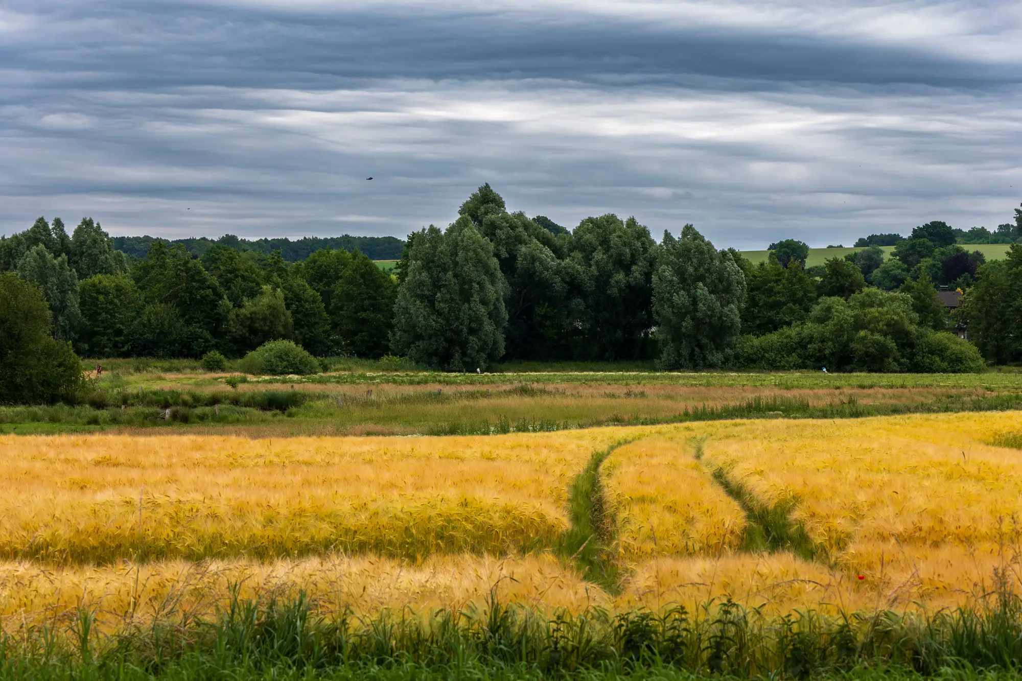
It's the kind of thing that ends up circled in red on a printout, then argued about over tea. A linear cropmark, dark and confident, running on a bearing that says ditch rather than drain, cutting clean across a barley field for 140 metres. Then nothing. It stops at the hedge line between two fields as if someone had rubbed it out with a thumb.
The instinct, especially if you're working to a deadline on a desk-based assessment, is to write it up as a terminus. A causewayed enclosure ditch doesn't run forever, after all, and a stop is a stop. But before that goes in the report as a feature boundary, it's worth asking what else changes at that exact line, because in most of lowland Britain the answer is: almost everything except the archaeology.
A hedgerow is a few metres of compacted margin, root competition, and usually a drainage ditch of its own, sitting on top of whatever field boundary was there before the hedge, which was very often there before the Ordnance Survey knew about it. Cross into the next field and the crop itself might change from six-row barley to wheat, sown three weeks apart by a different set of decisions on a different farm business, under a slightly different soil moisture deficit on the day the imagery was captured. None of that has anything to do with whether the ditch continues. It has everything to do with whether the ditch shows.
A buried cut shows up through differential crop stress, and crop stress is comparative: it needs a consistent crop, at a consistent growth stage, under a consistent moisture regime, to register as a mark rather than noise. Glossy write-ups of cropmark archaeology tend to skip this part, but it's the mechanism that decides what you see in the field. Change any one of those three things across a boundary and you've changed the instrument the ditch is being read through. The ditch may well run straight under that hedge and twenty metres into the next field before it does anything interesting like turning a corner, and you'd never know it from this one pass of imagery.
Old aerial photo interpreters knew this well enough to leave a note rather than a line: "mark not traced beyond field boundary, differing crop." It's a small, unglamorous habit, but it's the difference between a plan that overclaims a Neolithic enclosure as a half-ring and one that's honest about where the evidence runs out. The alternative, chasing a single good year's photograph into a confident plan, is how DBAs end up wrong in ways nobody flags until the trial trenches go in somewhere the ditch definitely wasn't supposed to stop.
More passes resolve it, not more squinting at one image. A mark that's genuinely hedge-suppressed tends to reappear in the next field once the same arable rotation lines up again, sometimes a season later, sometimes the year after that, depending on what gets drilled where. A mark that's a true terminus stays a terminus no matter how many growth windows you throw at it. Making that call takes a run of seasons stacked against each other, which is the job behind this site's cropmark layer: it pulls NIR imagery over the same ground through the growing season rather than relying on a single lucky pass, so the hedge-line question gets an answer instead of a shrug.
Next time a ditch stops dead at a boundary, it's worth asking what else stopped there before asking what the ditch did. If you want a second season's cropmarks to check it against, that's exactly what we're set up to show you.