Note
Field notes: the drought summer every clay-cap parish finally gave up its cropmarks
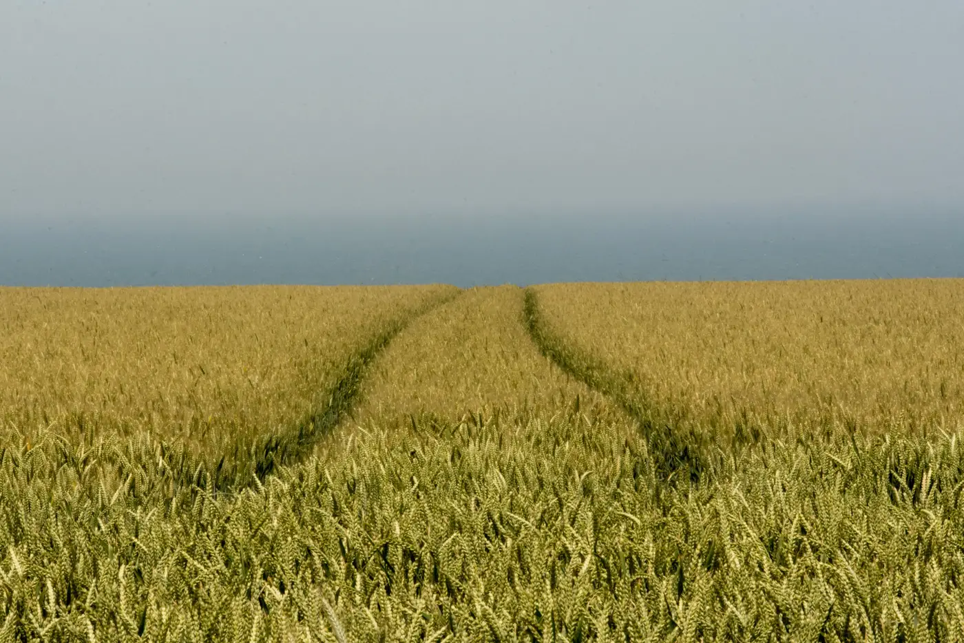
Every unit has a parish like this on its books. Clay cap over the solid geology, a watertable that never seems to drop far enough, and a cropmark record that's thin to the point of embarrassing. You write the desk-based assessment, you note the negative evidence caveat about soil type suppressing differential growth, and you move on to the geophysics budget line because everyone knows clay doesn't show.
This year it showed.
The drought ran long enough and hard enough that even ground which normally holds moisture like a sponge got stressed down to the subsoil. Crop over a buried ditch or a robbed-out wall footing doesn't care what the parent material is once the whole profile is dry. It roots where it can, and where it can't, it tells you. Parishes that have sat as blank polygons on HER cropmark layers for decades suddenly had features in the cereal that any photographer flying a transect in late June would have caught on a lucky pass.
The problem, as always, was the lucky pass. A drought summer like this one doesn't announce itself two months out. By the time the forums and the farmer grapevine confirm the stress is bad enough to show buried stuff, you're racing a harvest date, a landowner's spray schedule, and whatever else is competing for the plane or the operator that week. Units without a standing arrangement for aerial cover spent July watching a window they couldn't act on. A few got photographs. A lot of us got reports from colleagues about what they'd seen from a train window and nothing we could put in a DBA.
That's the part worth sitting with: the window for any given parish, clay-cap or not, opens on the crop's schedule and the weather's schedule, and the fieldwork calendar has no say in it. You can plan a geophysical survey for a Tuesday in September. You cannot plan a cropmark for anything. The sites that gave up their ditches and palaeochannels this year did it on their own terms, over a span of maybe three or four weeks, and whether anyone was looking during that span was mostly luck.
Some units are starting to treat that luck problem the way they'd treat any other gap in coverage: by having the imagery pulled automatically for the parishes on their watch list rather than waiting for someone to notice the fields have gone the right shade of yellow. NIR catches the chlorophyll stress before it's obvious as a visible parchmark on the ground, which matters most in exactly the marginal cases this summer produced. A dry year on sand is almost unmissable. A dry year that's just barely dry enough to crack a clay cap is the one you actually need help seeing, and it's the one that closes fastest once rain or harvest resets the crop.
If this drought has a lesson for desk-based work, it's that the "poor cropmark potential on clay substrates" line in your assessment template is doing more hiding than it should. It's true most summers. It was conspicuously not true this one, and there's no way to know in April which kind of summer you're about to get. Buried Feature Detection's whole premise is built around that uncertainty: run the NIR pass over your watch parishes every growing season regardless of forecast, and let the layer tell you whether this was a showing year before the crop comes off. You can read how the seasonal pass works if your own clay-cap parishes have been sitting blank for longer than feels right.
Get the next growth window checked before it closes on you.