Note
When cropmarks show: timing an NIR survey right
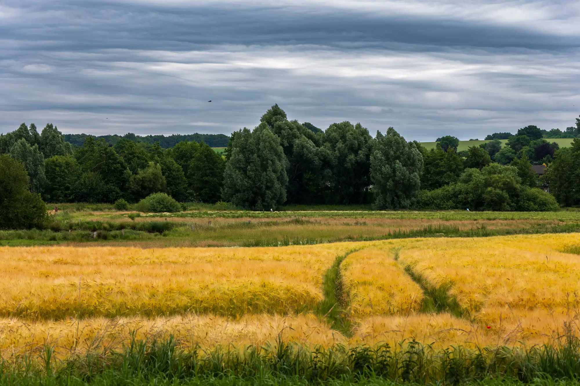
If you've ever scheduled a site visit for "peak cropmark season" and arrived to a field of uniform green, you already know the problem. There isn't one date. The window is a function of crop, soil and how much moisture stress the season has delivered, and it moves every year.
It's a stress response, not a calendar event
Cropmarks appear because a buried wall, ditch or palaeochannel changes how much water and nutrient a crop's roots can reach at that spot. A wall under thirty centimetres of topsoil starves the roots above it; a backfilled ditch or palaeochannel does the opposite and holds moisture longer. The plant responds by growing differently, ripening differently, or going a different colour, and that difference shows in NIR reflectance before it's obvious to the eye on the ground.
That means the mark only shows once the crop is under enough stress to react. In a wet year, root-zone moisture stays even across the field and nothing differentiates. In a dry year the stress arrives earlier and reads stronger. This is why the same field can give you a textbook ditch line one summer and nothing at all the next, with no change to what's buried.
The window, crop by crop
Cereals are the most reliable indicator and the ones worth planning a flight around:
- Barley tends to show first, often from mid-June in a normal year, because it ripens early and is quick to stress.
- Wheat follows a few weeks behind, typically into July, with the clearest marks appearing as the crop approaches ripening but before full senescence flattens the colour difference.
- Oilseed rape can show useful marks earlier in the season, around flowering, though the signal is less consistent than in cereals.
- Pasture and grassland are the hardest case. Marks only show in prolonged dry spells when grass over shallow archaeology browns off ahead of the surrounding field, which is why some long droughts produce the famous "exceptional" cropmark years and most summers produce very little over grass at all.
Soil matters as much as crop. Free-draining gravels and sands stress fast and show marks readily. Heavy clay holds moisture for everyone, buried feature or not, and can mask a site for years until a genuinely dry run of weeks forces it to show.
What a dry spring does to your flight date
The practical upshot for anyone scoping a desk-based assessment is that you can't fix a flight date in January and expect it to land on the window. A dry March and April pull the whole season forward; a wet May pushes it back regardless of what the calendar says. The crop type on each field you're assessing also means your window isn't a single date for the whole survey area. A barley field and a wheat field thirty metres apart can be on different timetables in the same season.
The traditional answer has been to wait for forecasters to call a hot, dry stretch, then scramble a light aircraft and a photographer, and then work through the resulting frames by eye, looking for marks that might be archaeology rather than drainage or an old field boundary. It works, but it depends on everyone else with the same idea not also needing the plane that week, and on someone having time afterward to go through hundreds of oblique photographs before the window closes.
Reading NIR imagery across the growing season rather than waiting for one good flying day removes that scramble: the differential growth that makes a cropmark is there in the data whether or not the right pilot was available on the right afternoon. Buried Feature Detection turns that imagery into a georeferenced cropmark layer you can drop straight into a desk-based assessment, refreshed each growing season rather than tied to a single flight.
If your assessment is coming up and you'd rather not gamble the whole exercise on June weather, it's worth seeing what a season's worth of cropmark data over your survey area looks like.